Gotthard

Gotthard
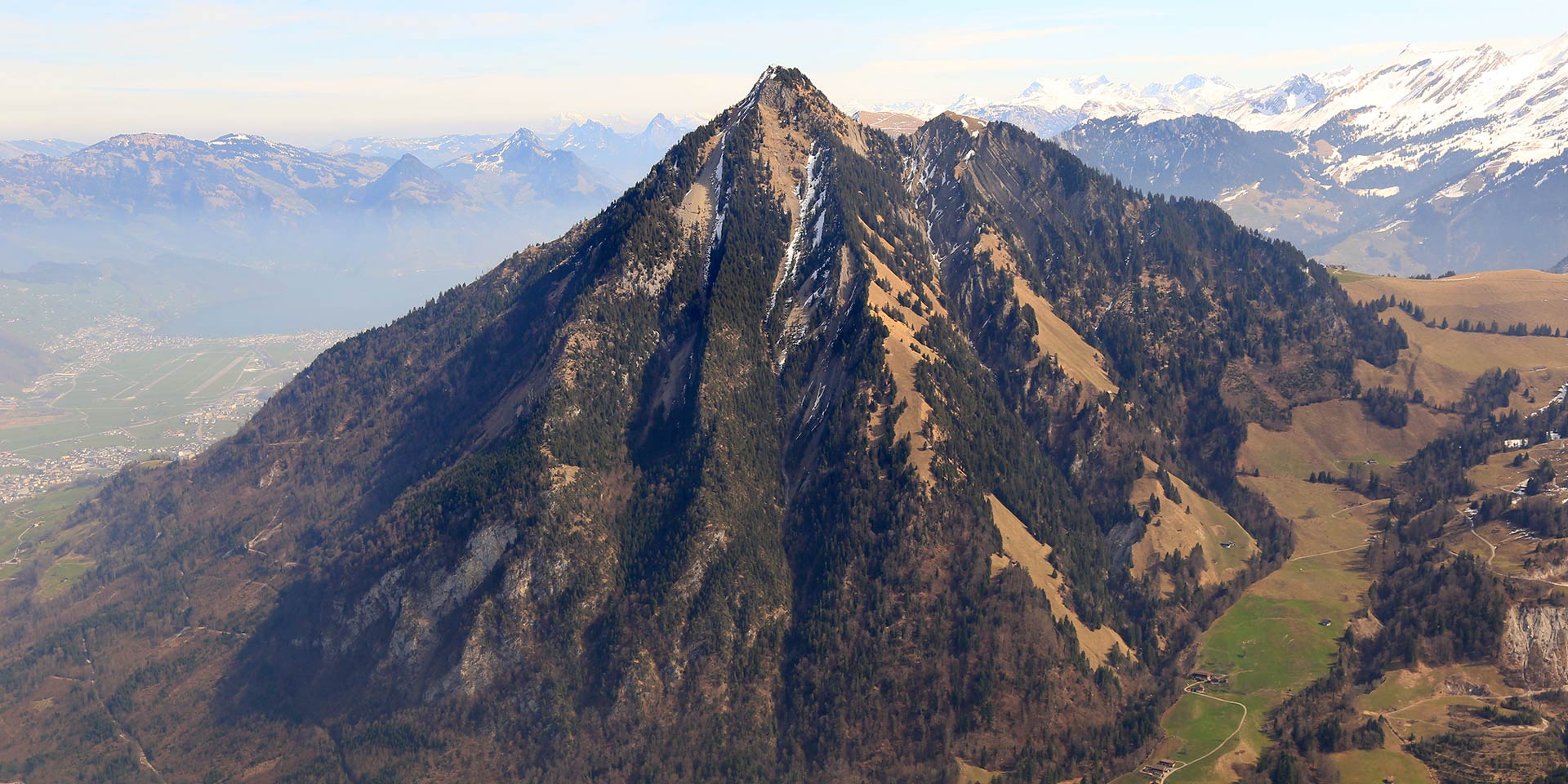
Gebirgsmassiv | Lepontinische Alpen | auf der Grenze der Kantone Tessin Graubünden, Wallis und Uri.
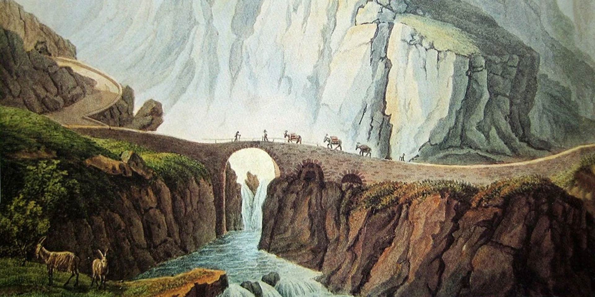
Der Sankt-Gotthard-Pass führt in nord-südlicher Richtung von Andermatt nach Airolo.
Höhe 2’091 m. ü. M. | Länge 27 km | erbaut 1827 – 1830 | Steigung maximal 8 %.
Nebst dem Sankt-Gotthard-Pass läuft der Lukmanier-Pass, 1984 m, in gleicher Richtung. Ost-westlich der Oberalp-Pass, 2044 m, das Urseren-Tal und der Furka-Pass, 2431 m.
Begrenzt wird das Massiv nördlich durch das Gadmental, den Susten-Pass, 2240 m, das Meien- und Maderanertal, westlich durch den Grimsel- Pass, 2165 m, der es vom Aaremassiv, Quellgebiet der Aare trennt. Im Süden sind es der Nufenen- Pass, 2480 m, das Bedrettotal, die Leventina; ostlich der San-Bernardino, 2066 m.
Gotthard
Gotthard | Mountain Massif | Lepontine Alps | Where Cantons Ticino, Grisons, Valais and Uri meet.
The St. Gotthard Pass runs north to south, from Andermatt to Airolo.
Height: 2091 metres above sea level / Length: 27 km / Built: 1827-1830 / Gradient: maximum 8%.
The nearby Lukmanier pass (1984m) also runs north-south, while the Oberalp Pass (2044m), the Urseren Valley, and the Furka Pass (2431m) run east-west.
The massif is bordered to the north by the Gadmen Valley, the Susten Pass (2240m), the Meien Valley and the Maderaner Valley; to the west by the Grimsel Pass (2165m), separating it from the Aare Massif, the source of the River Aare. To the south is the Nufenen Pass (2480m), the Bedretto Valley and the Levantina Valley; to the east, the San Bernadino Pass (2066m).